
Written by Nera Kuljanic,
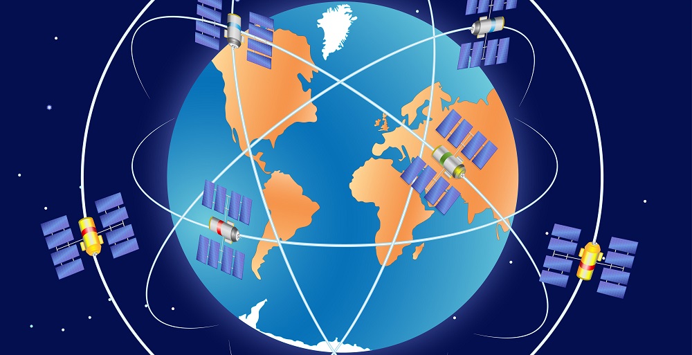
Satellite navigation (satnav) helps us locate ourselves based on signals provided by a constellation of satellites. Probably the best-known satnav is the American GPS, but China (BeiDou) and Russia (GLONASS) have also developed their own global navigation satellite systems (GNSS). All these systems are under military control.

Since the early 1990s, the EU has been exploring the potential of developing its own satnav. Setting up the foundation of the Galileo programme in 1999 achieved this ambition. After years of drawbacks, delays and increased costs, Galileo started providing what are known as ‘initial services’ in December 2016, and is set to become fully operational for 2021.
Satnav and other services enabled by GNSS, like Galileo, have found their way into a large number of applications in our daily life, in areas such as aviation; Location Based Services (LBS); timing and synchronisation (e.g., for mobile phone networks); surveying; road, rail, and maritime transport; agriculture; and public authority and military operations. For land surveys and civil protection, particular advantages stem from combining Galileo and Copernicus, the EU’s earth observation programme. Besides the benefits to European citizens and public authorities, Galileo enables innovation, contributing to the creation of new products and services, creating jobs and allowing Europe to own a greater share of the €175 billion global GNSS market.
Overall, compared to other GNSS, Galileo offers several unique features and provides other benefits to the EU, as well as globally:
- Developed as a civil system under the civil governance of the EU, Galileo allows Europe to remain autonomous, compared to relying on foreign-owned satnav, whose signals could be shut down or degraded for civil and/or foreign use (for example during conflicts). Civil governance also allows an open communication policy on system design specifications, which enables development of additional applications and technologies, and facilitates their certification.
- Interoperability between different GNSS is particularly important to avoid costly adaptations to single-satellite navigation systems. Galileo provides access to more satellites and frequencies, resulting in better user service, especially in challenging urban scenarios.
- Galileo will also provide the signal authentication feature for open, free-of-charge signals available to civilians. Signal authentication is a technical mechanism that verifies that the signals received actually originate from the source stated, which is particularly important for security sensitive applications. Galileo will also provide improved accuracy and coverage, with a unique return link capability for search and rescue (SAR) operations.
- Galileo is also the European contribution to the worldwide SAR service Cospas-Sarsat. Galileo helps increase the coverage and the localisation accuracy of the entire system, and adds a unique feature: a notification for the person in distress that their call has been detected and that help is on its way.
On the other hand, Galileo also faces a number of challenges. On the technical side, for example, the susceptibility of GNSS to radio frequency interference is a major threat for all domains. Furthermore, even though the open communication policy is much appreciated, some experts would prefer certain detailed technical information needed for their domain to be more readily available, particularly for safety-critical applications, which would also facilitate certification. From the organisational point of view, Galileo still suffers from its overly optimistic early schedules and past promises. Reliable schedules are crucial for private business investment in Galileo-related technologies. Finally, with the parallel modernisation of GPS, Galileo has missed the opportunity to be the first operational system with modern features for civil users and is today mostly considered an additional source of measurements to be used in conjunction with other GNSS. Nevertheless, Galileo remains the first and only GNSS under civilian control, and represents a strategic advantage for the EU.
The above points are the main conclusions of the recently published STOA study on the Galileo satellite navigation system. Requested by STOA Second Vice-Chair, Evžen Tošenovský (ECR, CZ), the study was carried out by experts from the Institute of Flight Guidance of the Technical University Braunschweig, Germany, under STOA management. A list of sources complements the study, which draws on information and feedback collected during 13 interviews with various experts in the field of GNSS. Based on the key advantages provided by Galileo and some of the challenges identified, the study offers a set of policy options to maximise the impact of the European satnav system both in the near future and in the long term.
If you read the study, please get in touch via email to let us know what you think. Your opinion counts for us.


[…] Source Article from https://epthinktank.eu/2018/12/13/galileo-satellite-navigation-many-benefits-back-on-earth-but-chall… […]